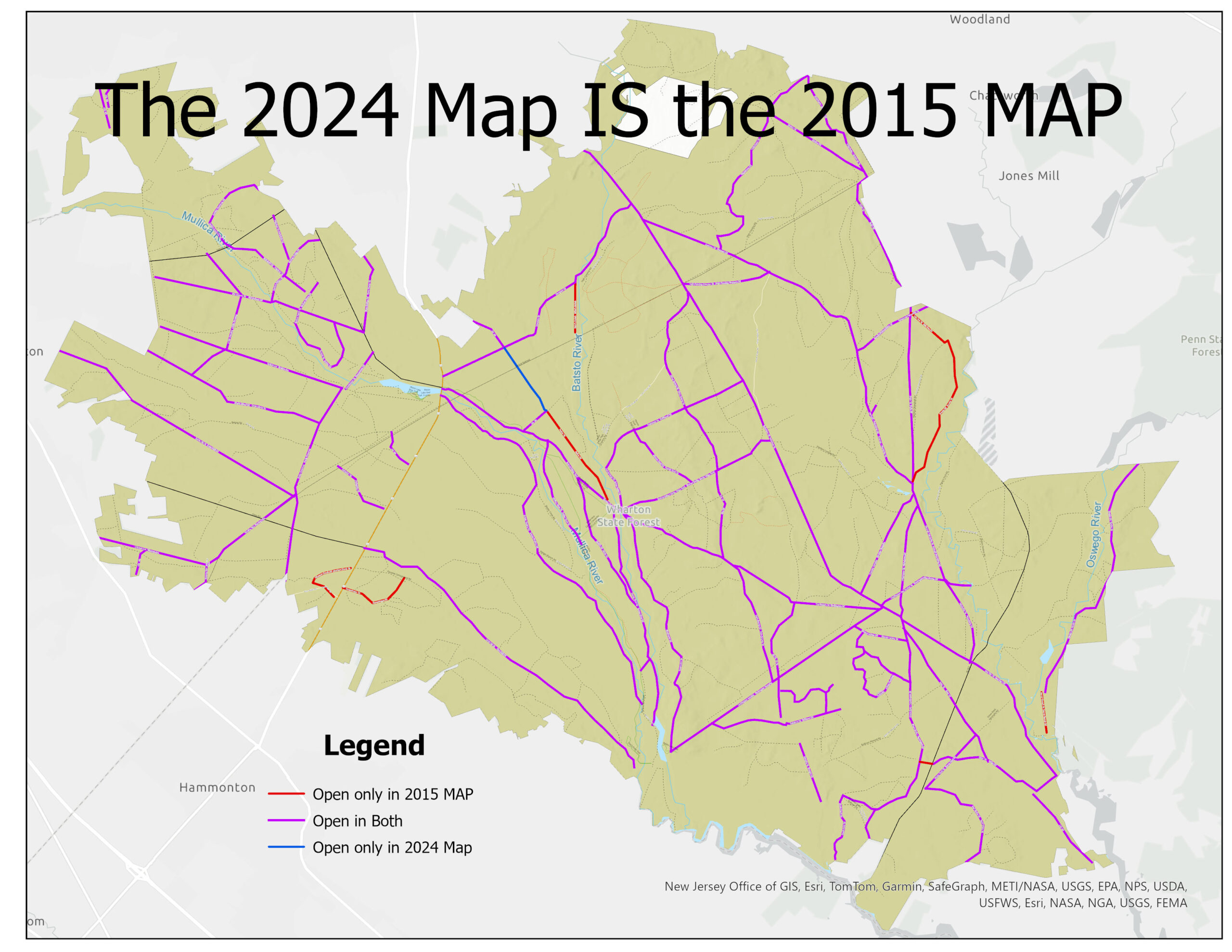
The 2024 Map IS the 2015 MAP. The DEP received 1,610 surveys. The illustration indicates which roads were open on the two maps. Did the DEP take even ONE of those surveys into consideration? Doesn’t seem like it, does it?
The 2024 Map IS the 2015 MAP. The DEP received 1,610 surveys. The illustration indicates which roads were open on the two maps. Did the DEP take even ONE of those surveys into consideration? Doesn’t seem like it, does it?